A powerful spring storm system that swept across the central United States over the weekend has left at least 19 people dead and caused catastrophic flooding and tornado damage from Texas to Ohio, prompting evacuations, road closures, and historic river crests across multiple states.
Ten of the confirmed deaths occurred in Tennessee, including a 57-year-old man who drowned after his car was swept into floodwaters. Kentucky reported two fatalities, among them a nine-year-old boy caught in rising waters while walking to his school bus. In Mississippi, two people were killed, and additional deaths occurred in Arkansas and Missouri, according to NBC News.
In Arkansas, a five-year-old child died after a tree collapsed onto his home, while in Missouri, a 16-year-old volunteer firefighter died in a crash while responding to a rescue call during the storm.
Kentucky Governor Andy Beshear stated on X, "Rivers have not yet crested, so we still have a day-if not more-of rising waters. We've already lost two of our people."
Floodwaters continued to surge across much of the Midwest, including central and eastern Kentucky, where the Kentucky River in Frankfort crested above 49 feet-just below the 51-foot maximum for the city's flood wall. In Camp Nelson, the river reached a record-breaking 47.04 feet, surpassing the previous high of 46.02 feet set in 2010. Records at that location date back to 1913, according to the National Weather Service.
More than 500 roads were closed in Kentucky, and evacuations were ordered for towns including Falmouth and Butler, where the Licking River approached levels not seen since the deadly 1995 flood that killed five people and destroyed 1,000 homes.
- The Ohio River in Cincinnati was forecast to crest at over 60 feet on Monday
More than 90 tornadoes reported in at least 10 states, from Kansas to Ohio
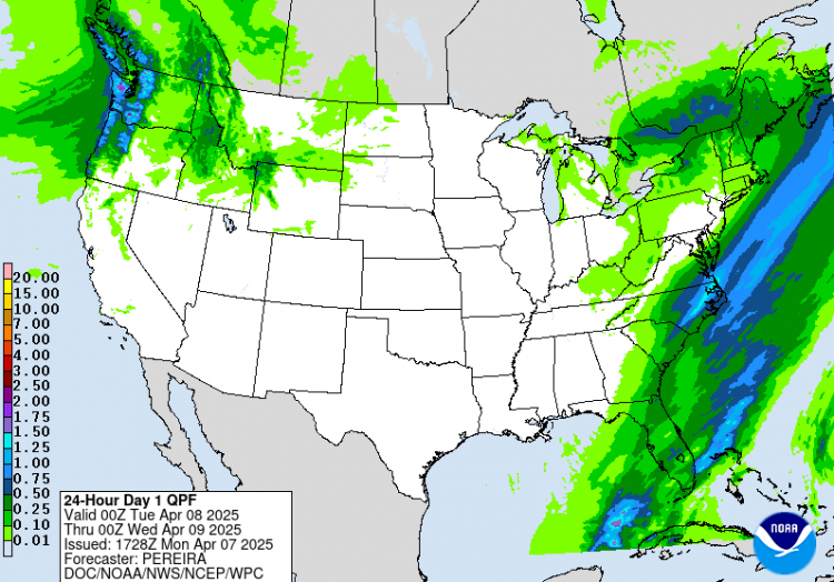
Memphis, Tenn., recorded 14 inches of rain over five days
Jonesboro, Ark., set a new April rainfall record with over 5 inches in one day
Meteorologist Ben Noll said that in areas of Kentucky, Arkansas, and western Tennessee, "more than three Aprils' worth of rain" fell within a few days. WKYT chief meteorologist Chris Bailey called it a "1 in 1,000-year rainfall event," emphasizing its statistical rarity. "That simply means it has a 0.1% chance of happening in a given year," he said.
The extreme precipitation is part of a broader system fed by warm air, instability, and moisture from the Gulf of Mexico, which triggered severe thunderstorms, flash flooding, and at least 90 tornadoes across a corridor stretching from the Plains to the Appalachian foothills.
In Rives, Tenn., a town of just 200 residents, nearly all structures were submerged after the Obion River overflowed. Nearby Dyersburg also saw widespread damage from an earlier tornado that left millions of dollars in destruction and forced residents to take shelter over the weekend.
AccuWeather senior meteorologist Alex Sosnowski warned that rivers like the Ohio and lower Mississippi could stay flooded for weeks, with secondary rivers now surging into the main arteries. "Some major roads and highways could be underwater for an extended period," he said.
The high volume of fast-moving water could also impact barge traffic and agriculture. Sosnowski added, "The high and fast-moving water will negatively affect tug and barge operations on the Ohio and lower Mississippi rivers."


