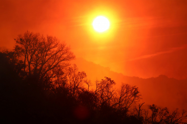
As the United States enters the fire season amid the COVID-19 pandemic, scientists have found a way to use artificial intelligence and satellite data to map out regions where wildfire will most likely hit.
A team of experts has worked together to develop a deep-learning model that's able to map levels of fuel moisture in fine detail across the western states of the U.S. The system should ramp up wildfire management given how challenging it is to gather information on how much burnable material exists in a particular region.
In a paper published in the journal Remote Sensing of Environment, Stanford scientist Alexandra Konings, who is also the paper's senior author, said that the deep-learning model could "massively improve fire studies." The team pointed out, however, that the system still needs further testing in order for it to fit into fire management plans. But the fact that experts now have a clear insight in terms of forest dryness is already a huge breakthrough in fire studies.
"One of our big breakthroughs was to look at a newer set of satellites that are using much longer wavelengths, which allows the observations to be sensitive to water much deeper into the forest canopy and be directly representative of the fuel moisture content," Konings said.
The way a region is tested for fire susceptibility as of current is by manually collecting foliage and branches, and testing these samples to gauge their water content. Though reliable and accurate, it entails a lot of work and manpower to begin with.
Along with this manual process, data sourcing has been quite a big help in mapping out the world's driest areas. For example, the European Space Agency's Sentinel and Landsat satellites have collected massive amounts of imagery of our planet's surface. This trove of images acts as a secondary source for assessing the risk of wildfire.
While this is hardly the first use of orbital imagery for the purpose of observation, the research team's effort is one of a kind considering previous systems made use of visual measurements that are site-specific, meaning the analysis method varies greatly depending on the region.
The deep-learning model arrives at a time where there's a crucial need for this kind of insight, as climate change can intensify and extend during the wildfire season. The current health crisis also complicates efforts of preventing huge fires, preparation for mass evacuations, and mobilizing first responders.
You can check out the results of the project in this interactive map.