As the warm hues of fall give way to winter's chill, the northern Cascades, Rockies, and North Dakota are bracing for the season's first significant snowstorm. This sudden shift in weather patterns has residents rummaging for winter gear and adjusting to drastically different driving conditions.
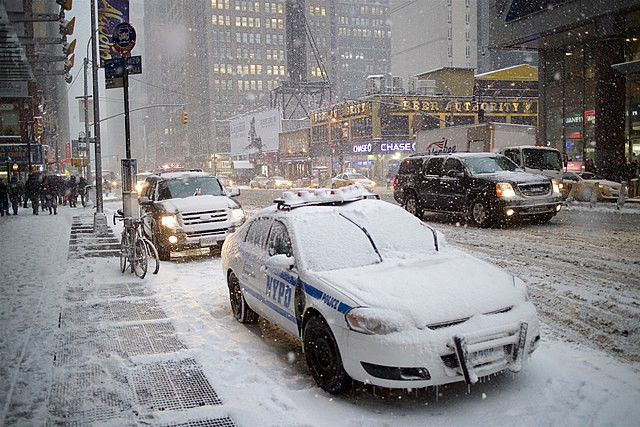
The National Weather Service has issued warnings about potential hazardous travel conditions, especially on snowy mountain passes. There's a heightened risk of ice forming on highways when the initial snow melts, only to freeze again as road temperatures plummet.
This snowstorm is expected to unfold in stages, commencing with rain at Washington's lower elevations on Tuesday, followed by mountain snow. The snow is then predicted to blanket northern Idaho, Montana, northwestern Wyoming, and North Dakota by Friday morning.
Meteorological data suggests that cold air from northwestern Canada, coupled with a moisture-rich Pacific weather system, is the catalyst for this sudden drop in temperatures and the anticipated snowfall. Mountainous regions in Montana could witness snow accumulations of up to 18 inches, with some parts of the northern Rockies potentially receiving over 2 feet.
Central Montana is poised to bear the brunt of this snowstorm. Matt Ludwig, a meteorologist with the National Weather Service in Great Falls, remarked, "We kind of are the bull's-eye." He also highlighted the inherent dangers of the season's first snowfall, as drivers readjust to winter road conditions after months of dry pavement.
The imminent snowstorm has prompted many to schedule appointments for snow tire installations. Eagle Tire in Helena, Montana, reported a surge in requests, with 30 vehicles serviced on Monday alone and 40 more slated for Tuesday. Additionally, homeowners have been rushing to winterize their underground sprinkler systems.
This sudden climatic shift is particularly jarring given the recent warm spell. Just last week, Helena experienced record temperatures in the lower 80s, approximately 25 degrees above the average for this time of year. From such balmy conditions to now potentially receiving 8 inches of snow is indeed a stark transition.
Local institutions are also gearing up for the snow. Helena Public Schools has urged families to monitor the district's online platforms for potential bus delays or cancellations due to the weather.
The snowstorm is anticipated to sweep across northwestern and north-central North Dakota from Tuesday night, persisting until Thursday night. Areas like Williston, Watford City, and Minot, located in North Dakota's oil field, could see snow accumulations ranging from 8 inches to a foot. Bismarck, on the other hand, is expected to receive 4 to 6 inches of snow by Thursday.
By Tuesday midday, snow had already begun to fall in regions of northwestern Montana, including Glacier National Park. Helena witnessed its first snowflakes by Tuesday evening. Northwestern Wyoming, encompassing Yellowstone National Park, is also under a winter storm warning.
As the northern Rockies and Cascades brace for this early snowstorm, residents are reminded of the unpredictability of nature and the need to stay prepared. With the winter season officially kicking off, communities are banding together to navigate the challenges ahead.


