A severe weather system is set to impact an estimated 70 million Americans from the Northeast to the Midwest, beginning Sunday and continuing through Tuesday. The multi-region storm has prompted the NOAA's Storm Prediction Center to issue an enhanced risk outlook, designating it a level 3 out of 5 risk for severe weather.
In the Northeast, intense thunderstorms are expected to develop late Sunday afternoon, affecting a corridor across the upper Ohio Valley, the Pocono Mountains in Pennsylvania, and the Catskill region in Upstate New York. These storms carry the potential for damaging winds, hail, and tornadoes as they slowly move southward into the evening. Major cities such as Pittsburgh and New York are projected to be impacted by a line of strong to potentially severe storms between 10:00 p.m. and 11:00 p.m. ET on Sunday night.
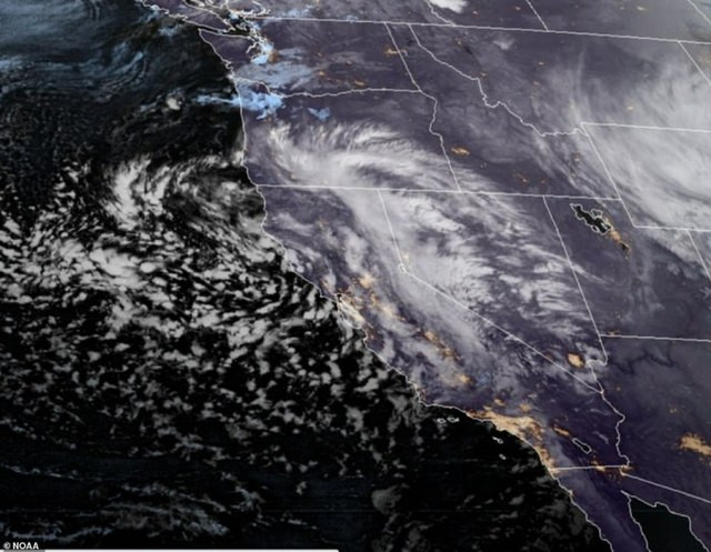
Meanwhile, the Midwest is bracing for a dynamic weather system that will move across the Rockies and into the Great Plains, spanning from the Dakotas to Texas. This system has the potential to form storms capable of becoming supercells, producing very large hail, damaging winds, and tornadoes on Monday. Scattered severe thunderstorms are likely across the southern to central Great Plains, mainly Monday evening, with storms potentially beginning as early as 5:00 p.m. CT from Central Texas to Nebraska and continuing to develop overnight across the region.
By Tuesday morning, storms are projected to impact regions from eastern Nebraska to Kansas City, Missouri, and parts of Iowa, with the possibility of remaining strong and potentially severe. The strongest storms are anticipated in areas from Des Moines, Iowa, to Columbia, Missouri, on Tuesday afternoon. Scattered severe thunderstorms are also likely on Tuesday into the evening, affecting a swath from Chicago to east of Dallas. Lingering strong to severe storms may persist in the Ohio River Valley on Wednesday morning.
In addition to the severe weather threat, flooding is also a concern for both systems. The main focus for Sunday is across Pennsylvania, where the ground is already saturated from a very wet April. Pittsburgh, for example, is already experiencing its third-wettest April on record, with 7.50 inches of rainfall, just shy of the 8.11-inch record set in 1901. The forecast for Pittsburgh and much of western Pennsylvania calls for an additional 1 to 2 inches of rain, which would be sufficient to break the record.
On Monday, there is a risk for excessive rainfall from northern Texas to North Dakota, while on Tuesday, the bulk of the moisture is expected to spread eastward, bringing the risk of flooding mainly to the Midwest. Cities such as Milwaukee, Wisconsin, and Fort Wayne, Indiana, are already grappling with a surplus of rain this month, with more than a dozen river gauges already at minor flood stage even before the next round of rain arrives. Widespread rainfall totals of 1 to 3 inches are expected from Nebraska to Wisconsin through Wednesday.
As the severe weather threat unfolds, approximately 40 million people from Ohio to Connecticut are under the threat of severe storms beginning Sunday afternoon. A Level 3 out of 5 risk for severe storms exists across eastern Ohio to northern Pennsylvania, including Pittsburgh, while major cities such as New York and Philadelphia face a Level 1 out of 5 risk for severe storms on Sunday.
It is crucial for residents in the affected areas to stay informed and prepared for the potential severe weather. Research shows that nighttime tornadoes are more than twice as deadly as daytime ones, as they are difficult to spot in the darkness and those sleeping may not be aware of the impending danger. Before going to sleep, individuals should ensure they are able to receive weather alerts.
As the multi-day severe weather threat unfolds, authorities and weather experts urge residents in the affected regions to remain vigilant, stay informed about the latest developments, and take necessary precautions to ensure their safety.