Hurricane Erin, a sprawling Category 2 storm with sustained winds near 110 mph, is generating dangerous surf, rip currents and flooding threats along much of the U.S. East Coast, while prompting evacuation orders in North Carolina's Outer Banks. The storm, which rapidly intensified into a Category 5 hurricane over the weekend before weakening slightly, is not expected to make direct landfall but will continue to send destructive waves and storm surge toward coastal communities.
The National Hurricane Center (NHC) said Erin's maximum sustained winds may fluctuate between Category 2 and Category 3 strength through midweek. Hurricane-force winds currently extend up to 80 miles from the storm's center, and tropical-storm-force winds reach out as far as 205 miles.
Tropical storm watches are in effect from Beaufort Inlet to Duck, North Carolina, including Pamlico Sound, while a storm surge watch covers Cape Lookout to Duck. Forecasters warn of surges of two to four feet combined with high tides, which could flood normally dry coastal areas.
Local officials have declared states of emergency and issued mandatory evacuations for vulnerable areas. Hyde County ordered visitors to leave Ocracoke Island Sunday night, with residents required to depart Tuesday morning. Dare County also ordered evacuations for Hatteras Island communities, including Rodanthe, Waves, Avon and Hatteras Village.
"The State Emergency Response Team is poised and ready to respond to any needs from our local communities this week," North Carolina Emergency Management Director Will Ray said in a statement. He urged residents and visitors to follow evacuation orders.
The impacts are already being felt. Wrightsville Beach Ocean Rescue reported nearly 60 water rescues on Monday due to powerful rip currents. The town has since issued a no-swim advisory through Friday. "These swells are producing powerful rip currents that can create extremely hazardous swimming conditions," said Sam Proffitt, director of Wrightsville Beach Ocean Rescue.
Farther north, New Jersey officials have restricted beach access. Swimming and water activities were suspended at Island Beach State Park and prohibited across Wildwood beaches. Margate City Beach Patrol said all swimming and bathing are banned "until further notice," citing public safety risks.
Forecasters expect waves of 15 to 20 feet along parts of the East Coast and up to 20 feet in the Outer Banks, raising the risk of severe beach erosion. The National Park Service at Cape Hatteras National Seashore warned that such waves "will likely inundate and destroy protective dune structures."
The storm's size has expanded significantly, with the NHC warning that tropical-storm-force winds could reach the Mid-Atlantic and southern New England later this week. Bermuda also lies in Erin's path of influence, with forecasters predicting rough seas and possible tropical-storm-force winds.
Erin is moving north-northwest at 7 mph, located more than 700 miles south-southeast of Cape Hatteras as of Monday evening. A turn to the north is expected midweek, followed by a northeastward track between the U.S. and Bermuda.
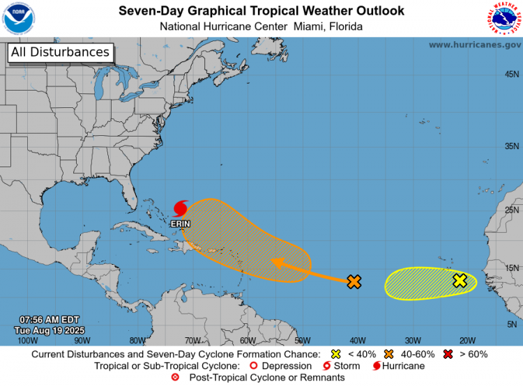
Meanwhile, the National Hurricane Center is monitoring two additional systems in the tropical Atlantic. One area has a medium chance of forming into a named storm within the next week, while another system near the Cabo Verde Islands has a low probability of development. The next named storms of the season will be called Fernand and Gabrielle.