A powerful Pacific storm barreled into the western United States this week, bringing heavy snow to the Sierra Nevada and parts of Nevada and Wyoming while unleashing torrential rain and thunderstorms across California. The National Weather Service (NWS) warned that snowfall could reach up to 18 inches in some mountain areas, with flooding and debris flow possible in several regions.
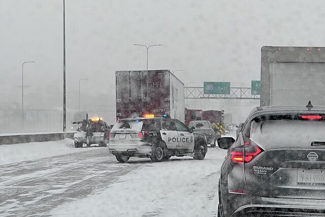
Winter storm warnings remained in effect Wednesday for parts of central California, where the NWS said the central Sierra, mainly south of Interstate 80, could see "heavy snow accumulations of 12 to 18 inches." Snow levels were expected to range from 5,500 to 6,500 feet, with the heaviest snow falling Tuesday night into early Wednesday.
In Nevada, forecasters said up to 15 inches of snow could blanket the Ruby Mountains and East Humboldt Range in Elko County. "A storm system will impact Northern and Central Nevada this afternoon through Wednesday night, resulting in periods of precipitation," the NWS Elko office wrote on X. Snow-covered roads were expected along State Route 229 and Harrison Pass, making travel "very difficult."
The Sierra Nevada bore the brunt of the system, with snow spreading southward into Mono County and as far east as Wyoming. Winter weather advisories were issued for the Teton and Gros Ventre Ranges, the Salt River and Wind River Ranges, and the Absaroka Range, where several inches of accumulation and slick conditions were anticipated.
Across California, the same system produced widespread rain, strong winds and scattered thunderstorms from the Bay Area to Los Angeles. Meteorologists described it as the first major statewide storm of the season. The NWS forecast 0.5 to 1.5 inches of rain from San Francisco to Los Angeles, with 2 to 4 inches possible in the coastal ranges and Sierra foothills.
Thunderstorms rolled through the Bay Area Monday, producing downpours, lightning, and small hail. "The next weather system will bring widespread showers and a few thunderstorms during the next 48 hours," NWS Riverton, Wyoming, wrote Tuesday, warning of uncertainty east of the Divide but significant precipitation across higher elevations.
The Sierra was expected to see the heaviest snowfall totals, with up to 3 feet possible above 8,000 feet. Donner Pass was likely to experience the first major travel restrictions of the season, while Mammoth Mountain and Tioga Pass braced for 12 to 18 inches. Flood watches were also in effect for foothill communities, where thunderstorms were expected to dump 1 to 3 inches of rain in Sacramento, Modesto, and Yosemite.
Southern California also faced flooding threats as the system moved south Tuesday night. The NWS said flash flooding and debris flows were possible in the hills and burn scar areas east of Santa Barbara and Los Angeles, with rainfall of 1 to 4 inches across the Transverse Ranges. Downtown Los Angeles was forecast to receive 0.5 to 1.5 inches of rain, while San Diego could record its wettest October day since 2021.
The storm, carrying unseasonably cold air from the Pacific Northwest, was expected to lower temperatures across the state by 5 to 15 degrees below normal, with highs in the 50s and 60s. As the system moved inland, forecasters warned that the combination of snow, rain, and wind would continue to disrupt travel across multiple states through midweek.


